SpatiX S1 USV: A Lighter, More Accurate, and Low-Maintenance New Tool for Underwater Surveying and Mapping
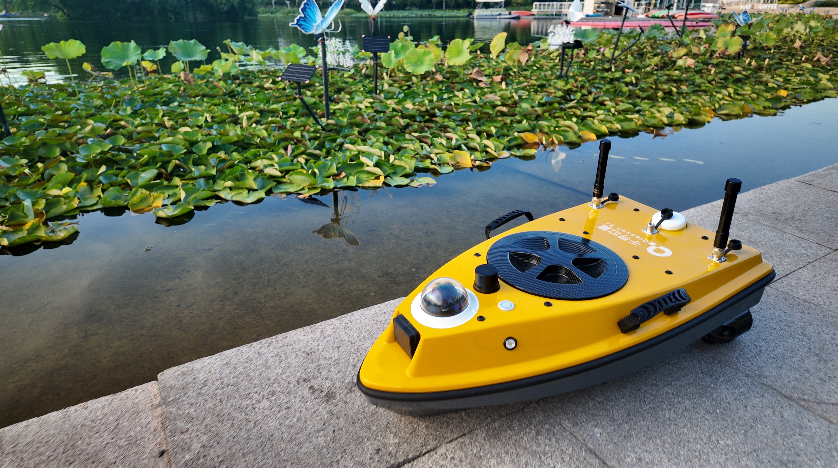
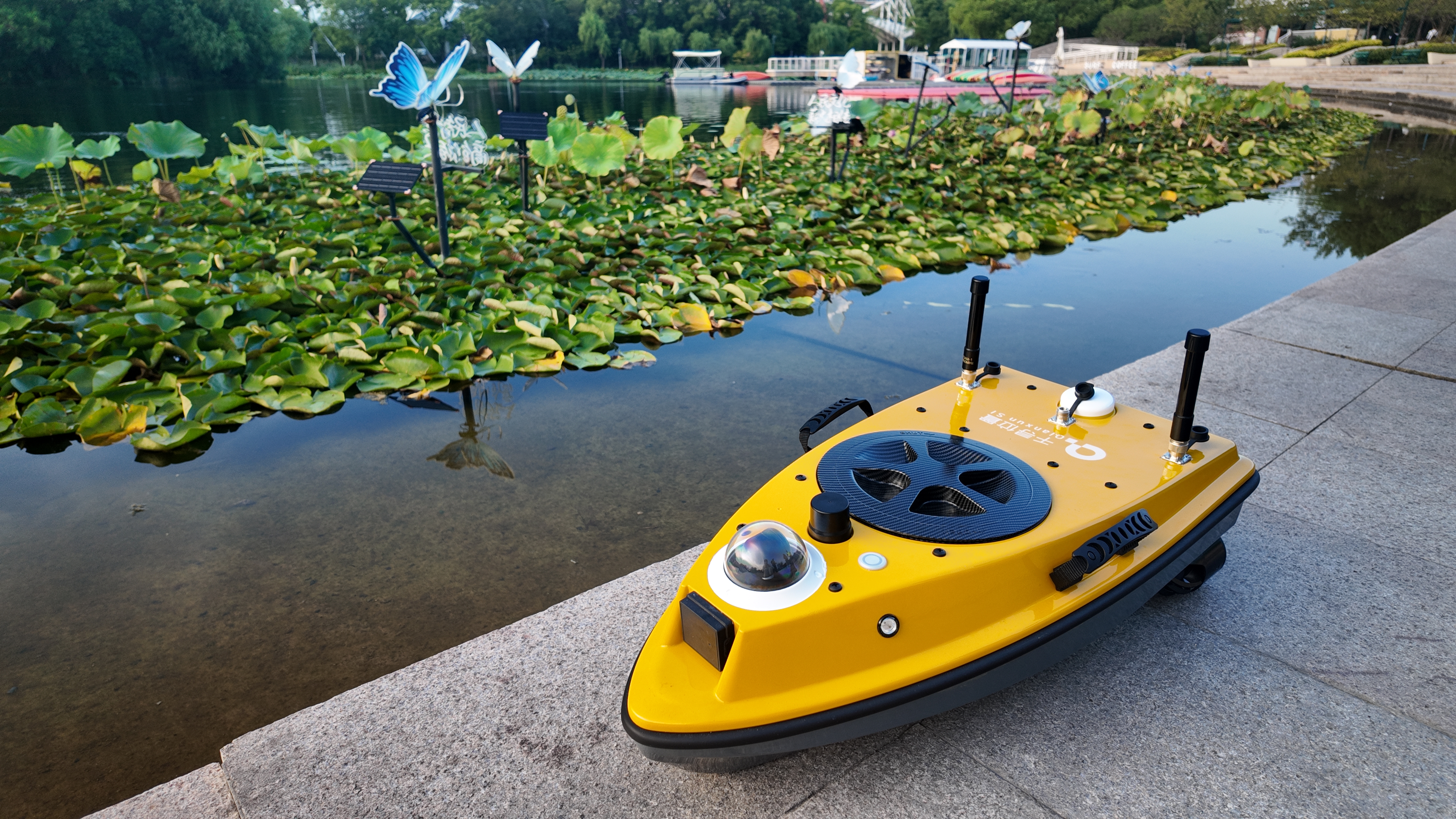
Recently, SpatiX launched the S1 USV portable unmanned survey vessel. With its features of precise positioning, single-person portability, low maintenance, and high efficiency, it serves as a brand-new tool for various underwater surveying and mapping operations. The S1 USV unmanned vessel allows easy operation by a single person—what advantages does it offer in different operational scenarios? Let’s take a look!
Waterway Dredging
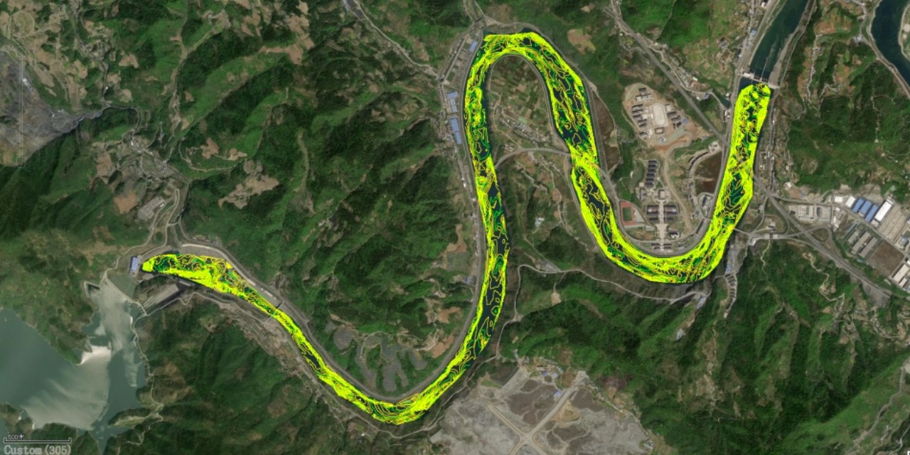
Periodic sedimentation in water areas and potential geological disaster risks bring significant uncertainty and instability to the shape of waterways, affecting navigation and operational capabilities.
The SpatiX S1 USV unmanned vessel supports river channel cross-section measurement, enabling easy acquisition of complete underwater topographic data. Meanwhile, it is equipped with dual GNSS antennas and integrated with SpatiX’s high-precision positioning service, ensuring stable and efficient operations.
Reservoir Capacity Calculation
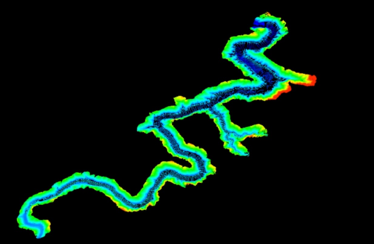
Unmanned vessels can improve the accuracy of measurement and calculation, providing data support for reservoirs to better fulfill functions such as flood control, water supply, ecology, and power generation. With the S1 USV unmanned vessel, underwater elevation data can be obtained through simple operations, with a maximum measurable depth of 120 meters.
Emergency Rescue and Disaster Relief
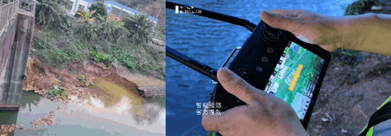
In recent years, frequent heavy rains have caused severe flood disasters in many parts of China, leading to accidents such as landslides. The S1 USV unmanned vessel has a draft of only 10 cm, allowing it to maintain good navigability even in landslide-affected areas. It can operate efficiently for over 5 hours and realize video transmission without relying on 4G networks, providing a safer and more efficient method for rescue work.
More Underwater Topographic Surveying Scenarios
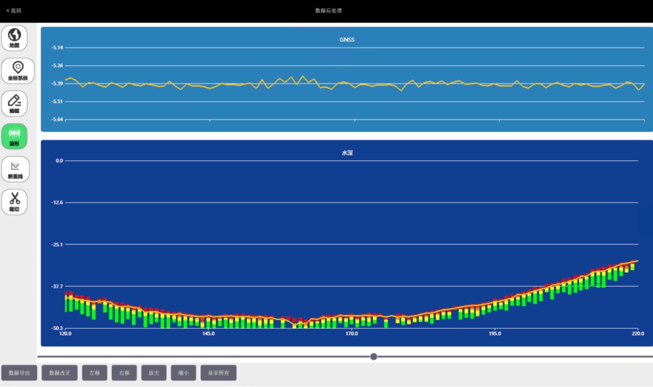
In addition to common scenarios like waterway dredging, reservoir capacity calculation, and emergency rescue, the easy-to-operate S1 USV unmanned vessel can also be applied to various underwater topographic surveying operations. It supports one-click route and survey area planning, simplifying field operation processes and saving manpower and costs. At the same time, the S1 USV’s advanced echo correction function ensures the accuracy of survey results even in scenarios with turbid water or complex underwater terrain.
How to install and operate this feature-rich unmanned vessel? Our product manager will walk you through the unboxing process—you can learn it in just 3 minutes. With simple operation, you can start surveying right away!