RTK Corrections
Free for 7 Days
Experience centimeter-level positioning via NTRIP RTK corrections and PPP-AR. No credit card required — just your GNSS receiver.
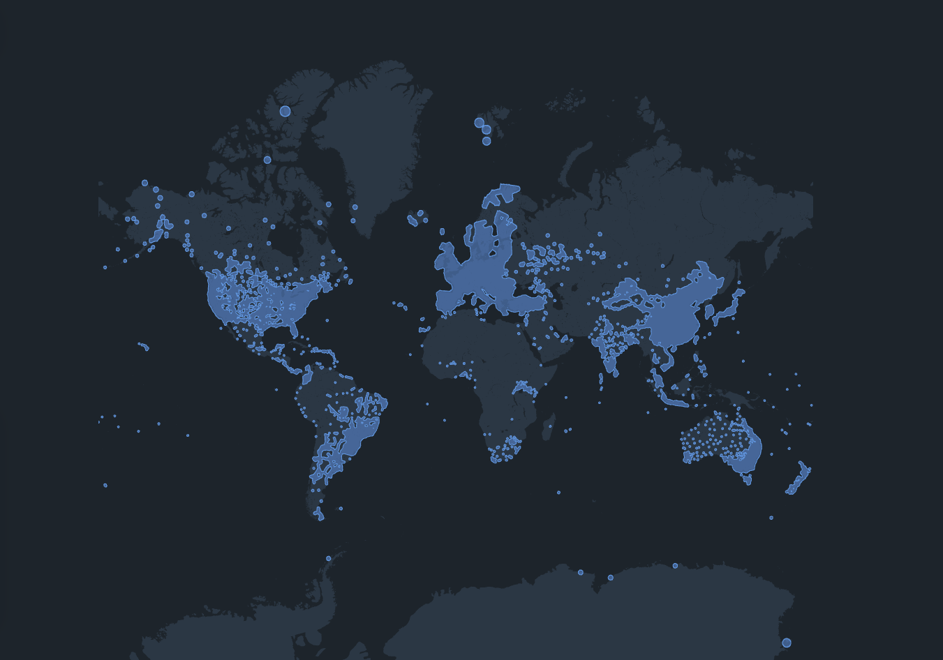
Global Coverage Network
Access centimeter-level RTK corrections across Asia-Pacific and European. Our distributed CORS infrastructure ensures reliable positioning wherever you operate.
Why Choose SpatiX CORS
Built for surveying, agriculture, drone operations, and autonomous systems...
Real-Time High Accuracy
Deliver 2 cm horizontal and 5 cm vertical precision in real time for mission-critical workflows.
Extensive Station Network
Access correction data worldwide via distributed NTRIP infrastructure, spanning 10,000+ stations across 223+ countries.
Fast Centimeter-Level FIX
Real-Time High Accuracy Delivers 2 cm horizontal and 5 cm vertical precision for mission-critical workflows.
Technological Reliability
Built on geodetic-grade base stations with triple-frequency and multi-constellation support (GPS, GLONASS, Galileo, BeiDou).
Developer SDK & API
Prefer SDK integration? Choose this option and get a 30-day trial.
Application Scenarios & Customer Feedback
Test SpatiX corrections across the field workflows where centimeter-level positioning matters most. From surveying and agriculture to drone workflows, SpatiX correction services are being validated by real users across different countries and field conditions.

Surveying
Centimeter-accurate positioning for land surveying, topographic mapping, and boundary determination. Achieve reliable FIX solutions in seconds.
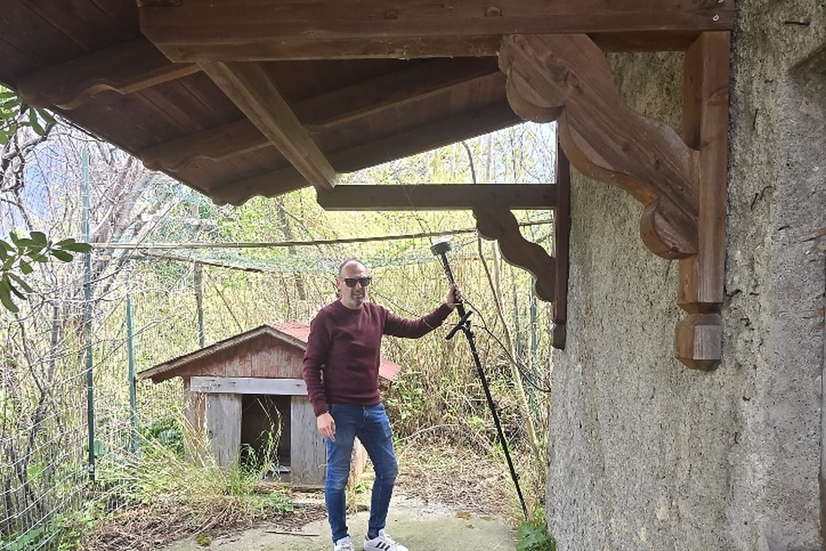
The network performs very well.
Surveying is currently the most active scenario in our Global Field Test — professionals across Greece, Italy, Poland and Serbia are putting SpatiX through rigorous on-site tests. The Italian user above shared this verdict after running the network end-to-end on a real engineering project site.
Precision Agriculture
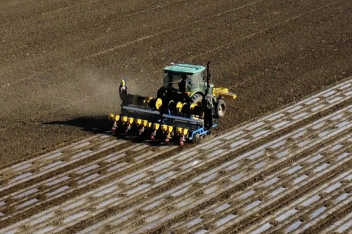
Auto-steering tractors and implement guidance with centimeter accuracy. Reduce overlap, save fuel, and maximize yield with RTK-guided operations.
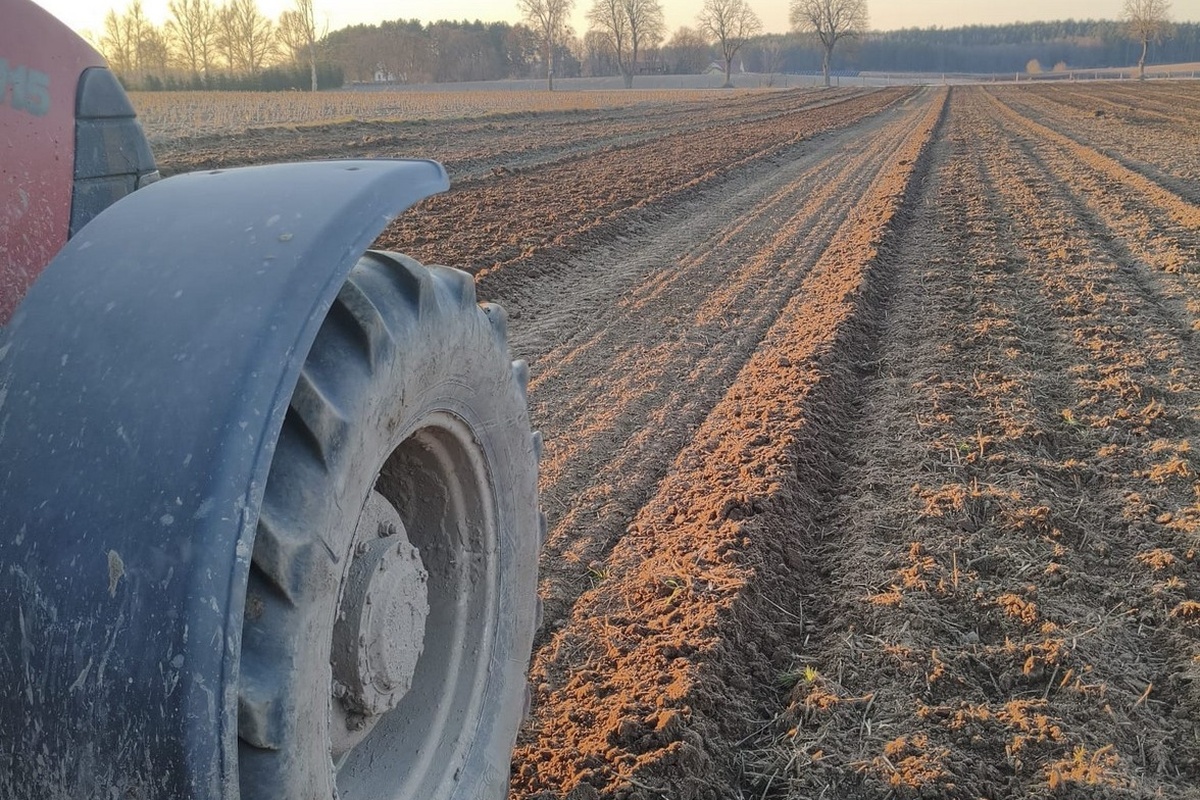
Accuracy is really well.
Our field tester in Poland used SpatiX for tractor-guided navigation and achieved perfectly straight rows — even in challenging soil conditions. Whether you are in precision agriculture, UAV surveying, or IoT, SpatiX keeps you on track.
Drones
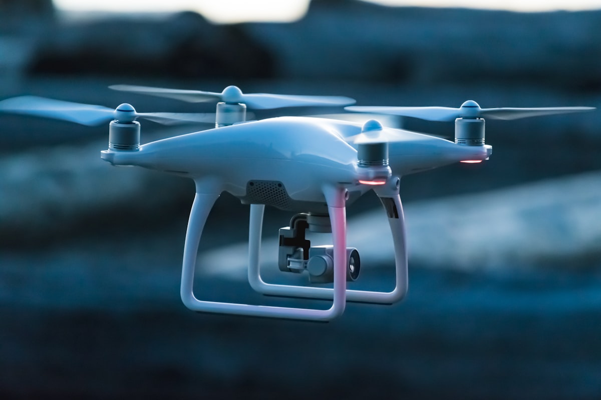
Centimeter-level positioning for aerial mapping and drone surveying. Capture precise geospatial data without ground control points.
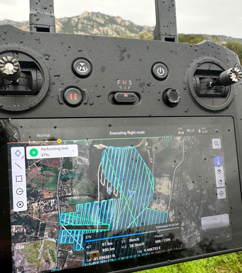
Seamless integration, flawless data.
Darren J. Doherty (Regrarians Ltd.) paired a DJI Mavic 3M with SpatiX for farm-planning aerial mapping in the rugged terrain of northern Sardinia — reliable corrections, seamless integration, flawless data.

Robotics & IoT
Lane-level positioning for autonomous vehicles, robots, and IoT devices. Enable precise navigation in complex environments.
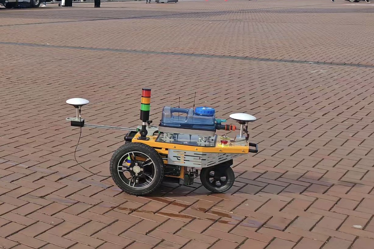
Centimeter-level path tracking.
Rita QU (Wage Traffic Co.) integrated SpatiX into the AT200 premarking robot at Intertraffic Amsterdam 2026 — a flawless live demo of autonomous road marking with pinpoint accuracy.
Start Your 7-Day RTK Trial — No Credit Card Required
Get centimeter-level RTK over NTRIP. Works with your GNSS receiver and field app. One setup across devices. Auto-ends after 7 days — no charges, no cancellation needed.
NTRIP Settings
Europe Site
Asia-Pacific Site
Developer SDK & API
For Developers: Prefer SDK integration? Choose this option and get an exclusive 30-day trial.
Exclusive Perks
Share your field experience or join a deeper global testing program to unlock additional service rewards.
Share on Facebook, Get 30 Extra Days
Share your SpatiX trial experience on Facebook, mention @SpatiX, and apply for an additional 30-day trial account.
Share on FacebookJoin the Global Field Test & Reward Program
Submit a qualified field test report for a chance to win up to 1 year of service.
Learn MoreFrequently Asked Questions
Everything you need to know before getting started with SpatiX CORS.
Ready for Centimeter Precision
Join thousands of professionals using SpatiX CORS for surveying, agriculture, construction, and autonomous systems.
7-day free trial · No credit card · Auto-ends after 7 days