
Q700 GNSS RTK Receiver Brings Faster and More Efficient Field Operations to Surveying and Construction
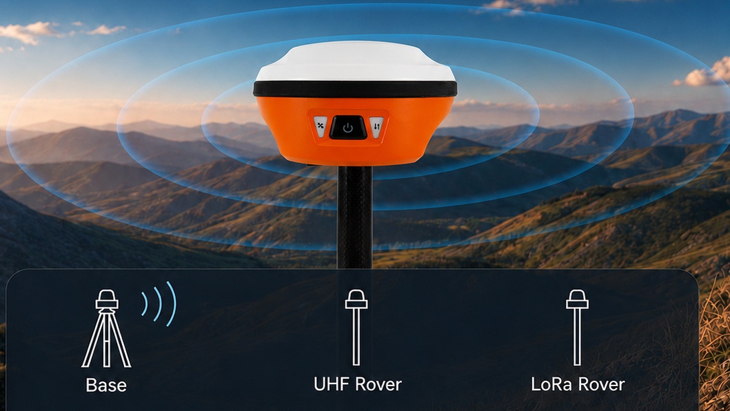
In modern surveying and construction projects, efficiency and accuracy are becoming increasingly important as job sites grow more complex and timelines become tighter. Traditional GNSS receivers often require multiple adjustments, careful leveling, and repeated stakeout checks, which can slow down field operations.
To address these challenges, the SpatiX Q700 GNSS RTK receiver introduces a more intelligent and efficient workflow designed for real-world field conditions.
Increasing Demand for Faster Surveying Workflows
Surveying and construction professionals are under constant pressure to deliver precise results in less time. Conventional GNSS RTK systems can be accurate, but often lack intuitive workflows that help operators complete tasks quickly on-site.
Common challenges include:
- Time-consuming manual stakeout processes
- Difficulty maintaining pole leveling in real environments
- Communication limitations in large or obstructed sites
- Steep learning curves for new operators
These issues directly impact productivity and project efficiency.
Introducing the SpatiX Q700 GNSS RTK Receiver
The Q700 GNSS RTK receiver is designed to optimize field productivity by combining high-precision positioning with intelligent field assistance features.
Key capabilities include:
- AR-guided visual stakeout for intuitive point navigation
- IMU tilt compensation for accurate measurements even when the pole is tilted
- Long-range LoRa communication for stable field connectivity
- Centimeter-level GNSS positioning accuracy
By integrating these technologies, Q700 helps reduce repetitive tasks and improves overall workflow efficiency.
Why Q700 Performs Better in Real Construction Environments
Unlike traditional GNSS receivers that rely heavily on manual operation, Q700 is built for real-world job site conditions.
Faster Layout with AR Stakeout
AR visual guidance allows operators to locate target points directly in the field, reducing time spent switching between controller screens and physical positioning.
Reliable Accuracy with IMU Technology
Even when the survey pole is not perfectly vertical, the built-in IMU system maintains consistent centimeter-level accuracy, reducing rework and improving confidence in measurements.
Stable Communication with LoRa Technology
Large construction sites often suffer from unstable connectivity. Q700’s integrated LoRa communication system extends range and ensures reliable data transmission in complex environments.
Designed for Harsh Job Sites
Q700 is engineered to perform in demanding environments where durability and stability are essential.
Applications of Q700 GNSS RTK Receiver
The Q700 is suitable for a wide range of professional applications, including:
- Construction site layout and stakeout
- Land surveying and mapping
- Road and infrastructure projects
- Utility and pipeline positioning
- Drone ground control point (GCP) surveying
Its versatility makes it a strong choice for both small contractors and large engineering teams.
A Smarter Alternative for Modern Surveying
As the surveying industry continues to evolve, tools like Q700 are helping professionals move beyond traditional workflows toward more efficient, intuitive, and connected field operations.
With AR-guided stakeout, IMU tilt compensation, and long-range communication capabilities, Q700 delivers a more streamlined experience for modern construction and surveying teams.
Learn More
To learn more about the SpatiX Q700 GNSS RTK receiver or request a product demo, visit the product page or contact our sales team.