SpatiX X5 StellarLaser GeoSync RTK: A New Generation of Intelligent Surveying Solution

Surveying professionals are constantly looking for ways to improve efficiency while maintaining the highest level of accuracy. Traditional workflows often require multiple instruments and complex operations, especially when measuring difficult-to-access points or performing stakeout tasks.
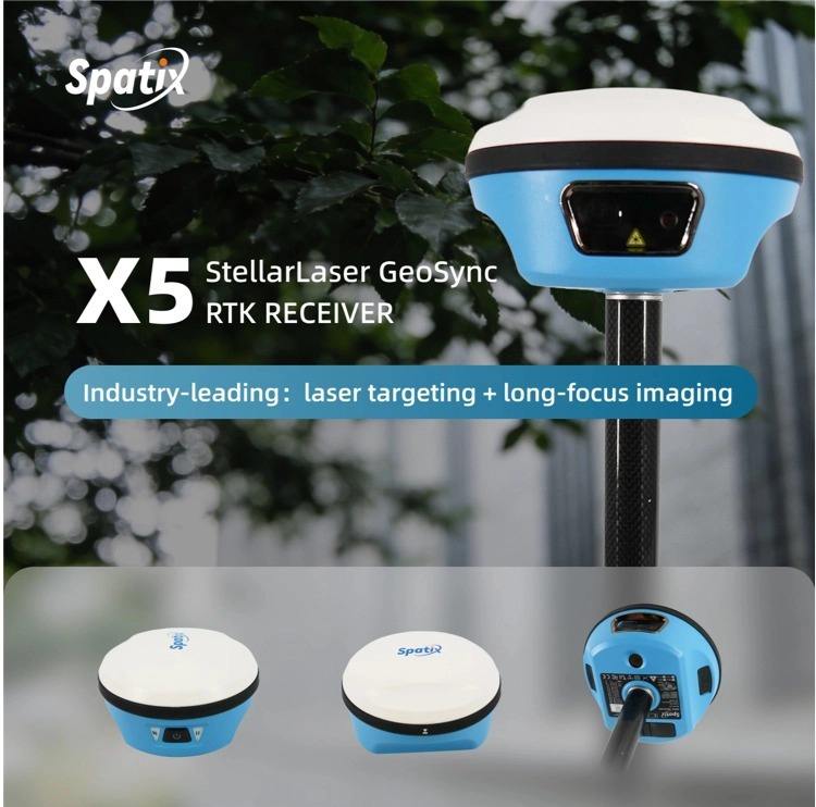
The SpatiX X5 StellarLaser GeoSync RTK introduces a smarter approach by integrating high-precision GNSS positioning, laser measurement, and AR-assisted stakeout into one powerful surveying solution.
All-in-One Design for Modern Surveying
The X5 combines multiple technologies in a compact and efficient RTK receiver:
- Centimeter-Level GNSS Positioning
Deliver reliable high-precision positioning performance for surveying, mapping, and construction layout applications. - Integrated Laser Measurement
Measure points that are difficult or unsafe to reach without physically occupying the target location, improving flexibility in complex environments. - Dual-Camera AR Stakeout
Visualize stakeout points directly through augmented reality, helping surveyors complete layout tasks faster and with greater confidence.
Improve Productivity in the Field
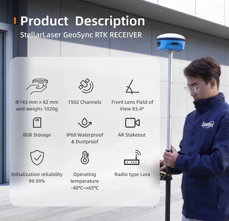
With its integrated workflow, the SpatiX X5 helps reduce equipment switching, simplify field operations, and improve overall surveying efficiency.
Whether performing topographic surveys, boundary surveys, construction layout, or GIS data collection, the X5 provides surveyors with a more intuitive and productive experience.
Built for Professional Surveyors
Designed for demanding surveying environments, the SpatiX X5 combines accuracy, intelligence, and ease of use to support professionals who need reliable results every day.
Experience the next generation of RTK surveying technology with SpatiX X5 StellarLaser GeoSync RTK.