
SpatiX Showcases High-Precision Positioning Solutions at INTERGEO 2026 in Munich
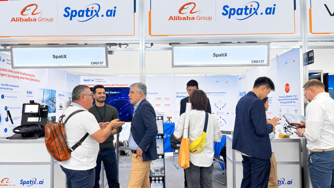
From September 15 to 17, 2026, INTERGEO 2026, the international trade fair for geodesy, geoinformation, and land management, was held in Munich, Germany. SpatiX showcased its global positioning services, GNSS reference stations, GNSS modules, and professional positioning systems at Booth G137 in Hall C6, engaging with customers and partners from around the world to explore real-world applications of high-precision positioning.
Global Spatiotemporal Intelligence Services
The value of high-precision positioning depends on stable and reliable correction services. By integrating satellite-based and terrestrial infrastructure, SpatiX provides continuous positioning support for applications across different regions and operating environments.
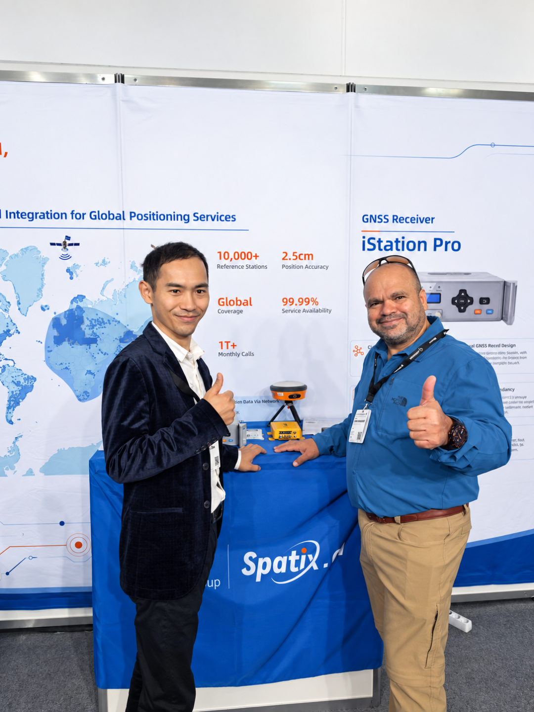
Today, SpatiX operates a global network of more than 10,000 BeiDou satellite- and ground-based augmentation stations, delivering horizontal positioning accuracy of up to 2.5 cm and 99.99% service availability.
For customers looking to build their own positioning infrastructure, the iStation Pro showcased at INTERGEO is a high-performance, all-in-one GNSS reference station. It integrates advanced satellite tracking, interference mitigation, and multipath suppression technologies to provide high-quality raw GNSS data. Its system management and communication capabilities allow it to adapt to a wide range of professional applications.
A Versatile Product Portfolio for Diverse Applications
From core GNSS modules to complete positioning systems, SpatiX showcased a portfolio covering applications in surveying, precision agriculture, marine operations, construction, and other industries—making high-precision positioning easier to integrate and deploy.
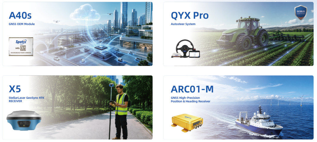
The X5 RTK Receiver combines laser measurement with binocular AR stakeout capabilities. With a laser measurement range of up to 50 meters, it helps field professionals complete surveying tasks more efficiently.
The A40s GNSS OEM Module supports signals from GPS, BeiDou, GLONASS, Galileo, and QZSS. With 1,520 channels and PPP support, it delivers high-precision positioning performance with power consumption as low as 1.3 W, making it suitable for integration into a wide range of positioning devices and systems.
Designed for precision agriculture, the QYX Pro Automated Steering System delivers 2.5 cm positioning accuracy, supports operating speeds of up to 30 km/h, and enables ultra-low-speed operation below 0.5 km/h. It also supports multiple ISOBUS functions and features built-in PPP service capabilities.
The ARC01-M Marine GNSS Receiver is designed for inland waterway and nearshore applications. With a 1-meter antenna baseline, it can achieve heading accuracy of 0.2°. The receiver also supports PPP services and features an IP68-rated enclosure and vibration-resistant design for demanding marine environments.
Hearing Real Customer Needs at INTERGEO
For SpatiX, INTERGEO was more than an opportunity to showcase products—it was also a valuable platform for face-to-face conversations with customers and partners.
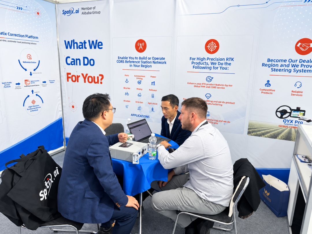
Throughout the exhibition, the SpatiX team engaged with customers, distributors, and equipment manufacturers through product demonstrations, technical presentations, and discussions focused on device capabilities, correction service integration, and deployment options.
Whether visitors were looking for GNSS receivers, positioning modules for hardware integration, regional CORS network solutions, or opportunities to expand their product portfolios, the SpatiX team worked closely with them to understand their specific application requirements.
These conversations were equally valuable to SpatiX, providing direct insight into local market needs and valuable feedback from customers and industry partners.
Working with Partners to Bring High-Precision Positioning to More Applications
For customers planning to build regional positioning infrastructure, SpatiX provides integrated hardware, software, and operational services to support the development and operation of independent CORS networks. These solutions can serve applications across surveying, precision agriculture, intelligent driving, drones, ports, shared mobility, and other industries.
For equipment manufacturers and distributors, SpatiX offers integrated solutions combining GNSS modules, hardware, software, and positioning services. With support from SpatiX's supply chain and product integration capabilities, partners can focus on their own brands, customer service, and local market development.

SpatiX is actively looking for distributors and partners worldwide to explore new opportunities in regional positioning services, product integration, and industry-specific solutions. Together, we can bring high-precision positioning technology into more real-world applications and create greater value for customers.
Thank You for Meeting Us in Munich
We would like to thank every customer, partner, and visitor who met with us at INTERGEO 2026 in Munich.
The exhibition may have come to an end, but the conversations and collaboration continue.
SpatiX looks forward to staying connected and working with partners around the world to make high-precision positioning more accessible, integrated, and valuable across industries.