
From daily monitoring to post-disaster rescue, Qianxun SI is always guarding.
In the eight years since its establishment, Qianxun has extensively applied Spatiotemporal intelligence technology in safety monitoring scenarios such as mountains, buildings, bridges, mines, and dams. It also provides technical support for reconstruction and rescue efforts following earthquakes, floods, and other disasters. Let's take a look at how Qianxun has raced against risks in recent years to safeguard people's lives and property.
Open-pit mine displacement monitoring:
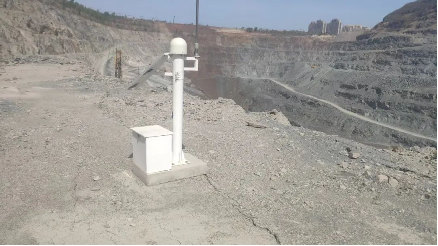
In April this year, the Qianxun safety monitoring system assisted a certain open-pit iron mine in Northeast China by detecting landslide risks in advance. Monitoring data showed that the ground displacement of a certain slope in the mining area reached 404 millimeters within 24 hours. The monitoring system immediately issued a red warning, suggesting the mining area strengthen inspection and avoid production.
Dam safety monitoring:
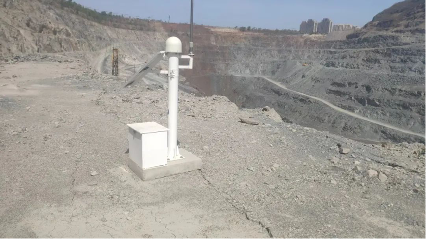
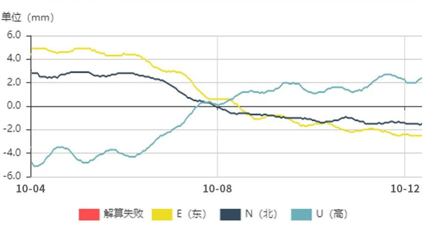
From October 2nd to 7th, 2022, Shanxi experienced nine rounds of heavy rainfall, causing 42 reservoirs to operate above their flood limit levels. In this critical moment, Qianxun self-developed safety monitoring system helped a medium-sized reservoir in Shanxi to promptly capture dam deformation. This allowed the reservoir to gain precious time to reinforce the dam, preventing a dam break disaster.
Landslide early warning monitoring:
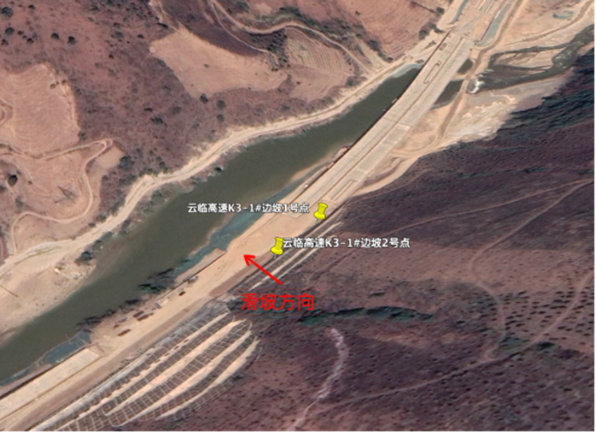
In the early morning of April 26, 2022, Qianxun detected an accelerating deformation trend in a slope along the Yunling Expressway in Yunnan Province. The system issued a landslide warning three hours in advance, allowing highway personnel to promptly notify nearby vehicles to avoid the risky sections. Ultimately, when the landslide occurred, no casualties were reported.
Post-earthquake reconstruction:
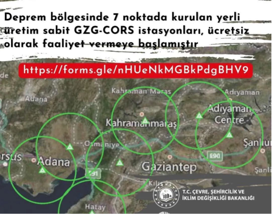
In February this year, a 7.8 magnitude earthquake struck Turkey, making post-disaster reconstruction work extremely challenging. Qianxun partnered with local Turkish collaborators, providing free Qianxun FindCM services to the 10 affected provinces in Turkey. This offered crucial reference data for drone search and rescue, disaster geological monitoring, building damage assessment, aerial surveying of affected areas, and infrastructure reconstruction, facilitating the smooth progress of various post-disaster reconstruction tasks.
Flood rescue and relief:
In July 2021, after severe flooding occurred in Gongyi, Henan, multiple gas pipelines were exposed due to the heavy rain. Rescue teams used the Qianxun X5 aerial survey drone to complete aerial photography in 5 hours and delivered a 3D map of the disaster area within 24 hours. They immediately identified more than a dozen suspected pipeline risk points and developed emergency repair plans. This prevented gas leaks from causing fires and ensured the normal life of residents in the affected areas.