Innovations, events, and announcements from SpatiX.
GNSS-based high-precision absolute positioning plays an indispensable role in intelligent driving。 To achieve high-precision positioning, it is inseparable from the "three major components" of high-precision positioning - hardware, services, and algorithms。 But to truly achieve mass production, the 'three major components' of high-precision positioning must be upgraded to version 2。0, which are integrated hardware, proprietary services, and intelligent algorithms。 In recent years, SpatiX has joined hands with partners to create a variety of hardware integrated with high-precision positioning services, including dual-frequency centimeter-level modules and single-frequency communication-navigation integrated sub-meter-level modules。
Therefore, SpatiX Spatial Intelligence has built high concurrency capabilities from three aspects: infrastructure, middleware layer, and distribution link, based on its own data processing characteristics。 For internet platforms, a lack of good high concurrency processing capability when faced with a large number of users accessing quickly can, at best, cause service interruptions and, at worst, lead to server crashes。How does SpatiX serve 2。 It relies on SpatiX's independently developed high concurrency capability built on the Spatial Intelligence platform – achieving "unlimited" service access capability through "limited" ground-based augmentation stations。 Moreover, interruptions in spatiotemporal service data can pose safety risks for "robots" such as operating drones and autonomous vehicles。
In 2023, SpatiX launched China's first large-scale ionospheric forecasting service, which is currently capable of predicting the ionospheric activity in county-level regions for the next 3 hours to 3 days.
Unlock the power of precise location intelligence with SpatiX, revolutionizing professional services through centimeter-level positioning accuracy.
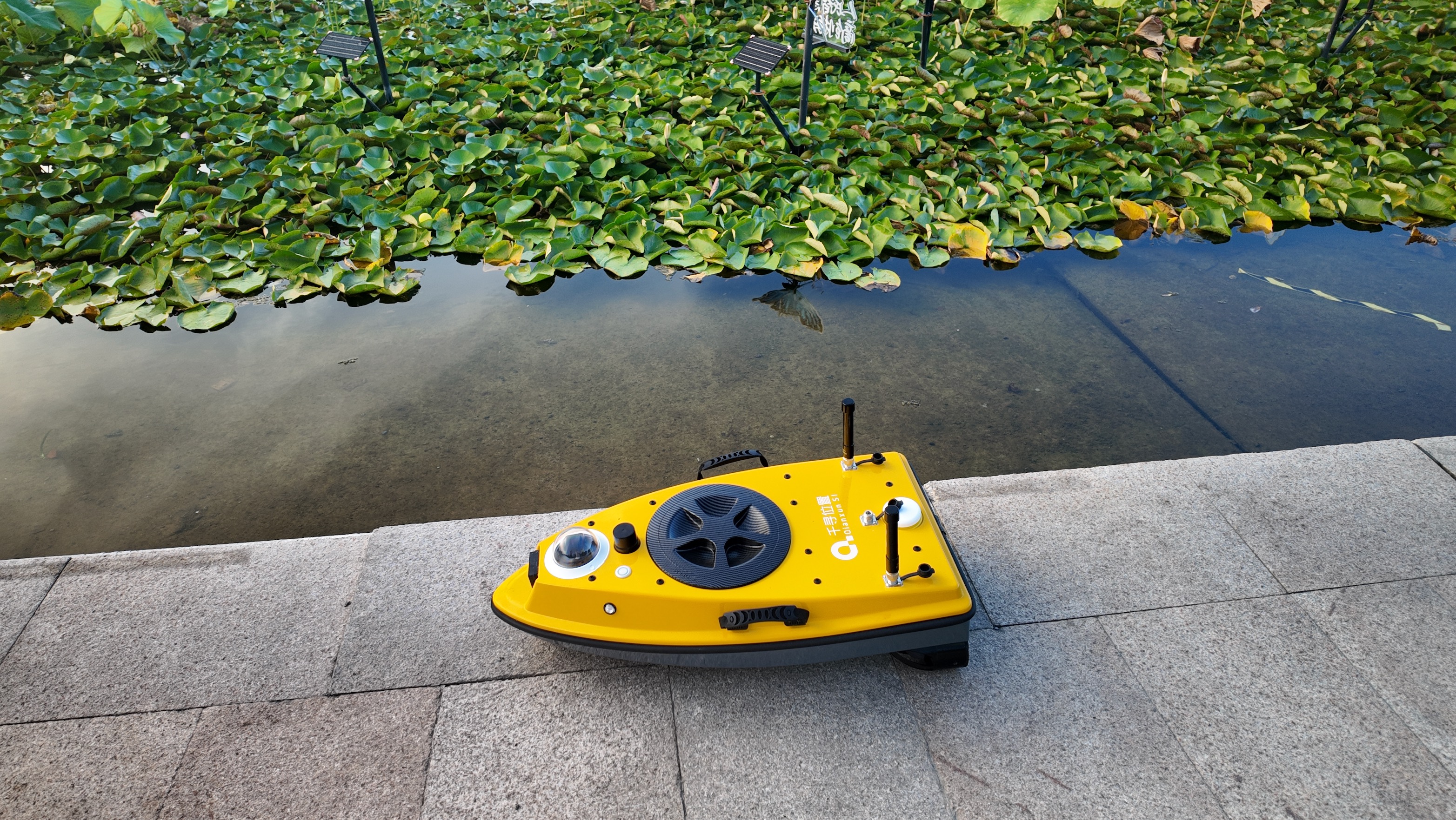
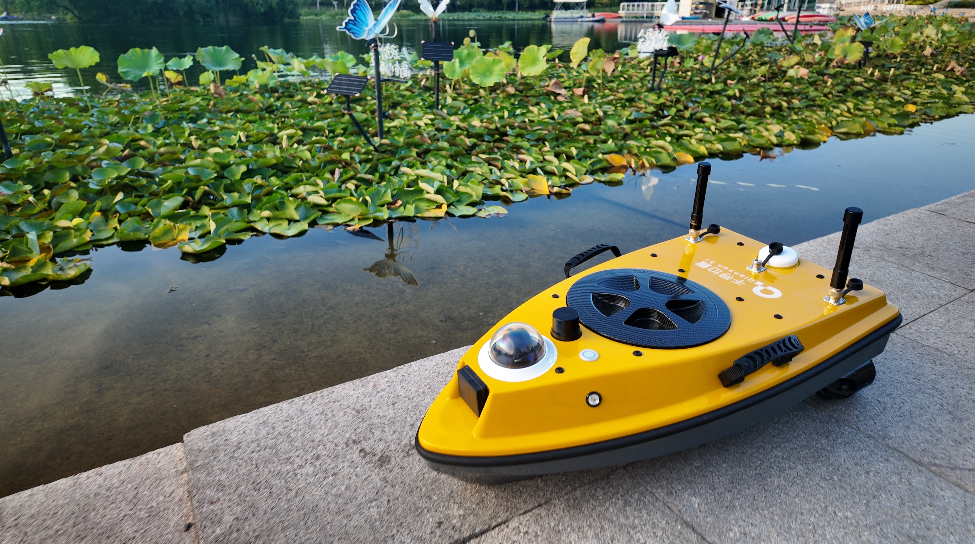
The SpatiX S1 unmanned vessel redefines water operations with its core strengths: lighter, more precise, and more hassle-free。 Designed as a game-changing tool for underwater surveying, it eliminates the complexity of traditional operations with intelligent innovation。 Smart & Safe Navigation: Millimeter-wave radar avoids obstacles seamlessly, while the intelligent battery offers over 5 hours of runtime。 One-touch hovering and automatic return-to-home (low battery/lost connection) add layers of convenience 。 Effortless Operation: Equipped with H12 remote control and StarNav software, it supports one-click route planning and automatic data collection。
SpatiX launched the S1 USV portable unmanned survey vessel. With its features of precise positioning, single-person portability, low maintenance, and high efficiency, it serves as a brand-new tool for various underwater surveying and mapping operations
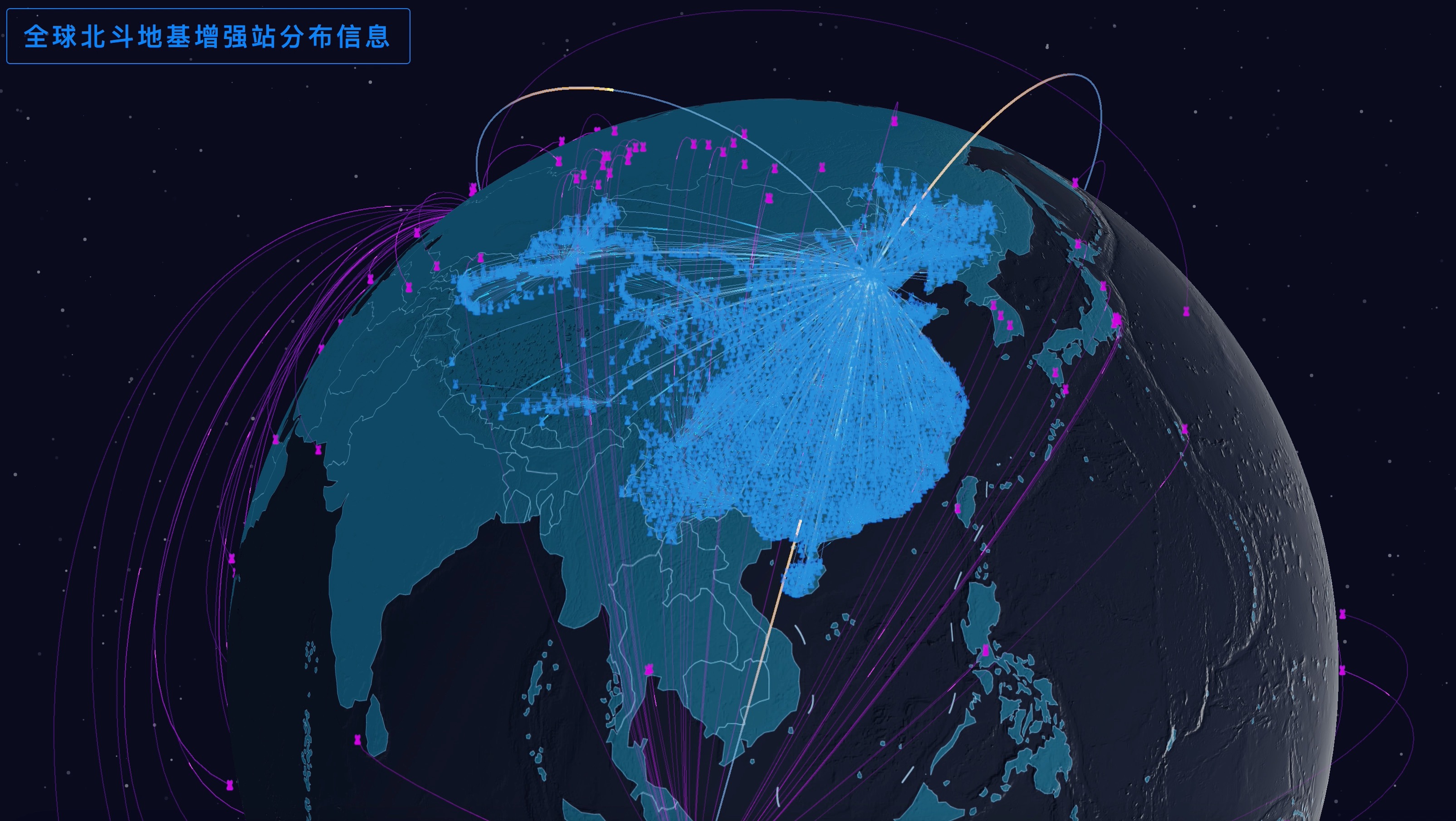
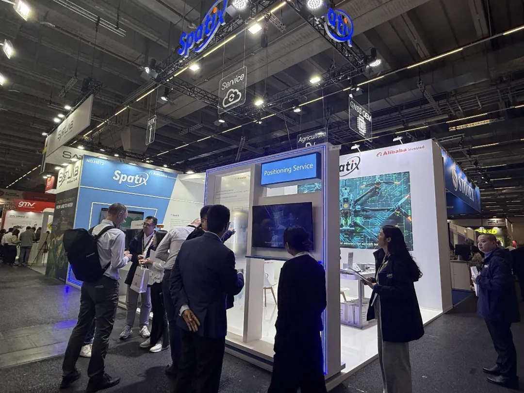
Making its first appearance at INTERGEO, SpatiX showcased a range of core products and solutions, demonstrating the innovative power of spatiotemporal intelligence to the world。 Exhibition Site The "SpatiX Positioning Service" provides 24/7 global spatiotemporal intelligence services, including four types of services: accelerated positioning, network-based satellite augmentation, satellite-based augmentation, and ground-based augmentation。 Cloud-Chip Integration: Core Support for Spatiotemporal Intelligence At the exhibition site, SpatiX's booth featured the "SpatiX Positioning Service" and the "Cloud-Chip Integration" as the core technical support。 Relying on more than 6,000 GNSS (Global Navigation Satellite System) satellite-based/ground-based augmentation stations worldwide, SpatiX has achieved global coverage of Beidou high-precision spatiotemporal intelligence services, with a total of over 2。
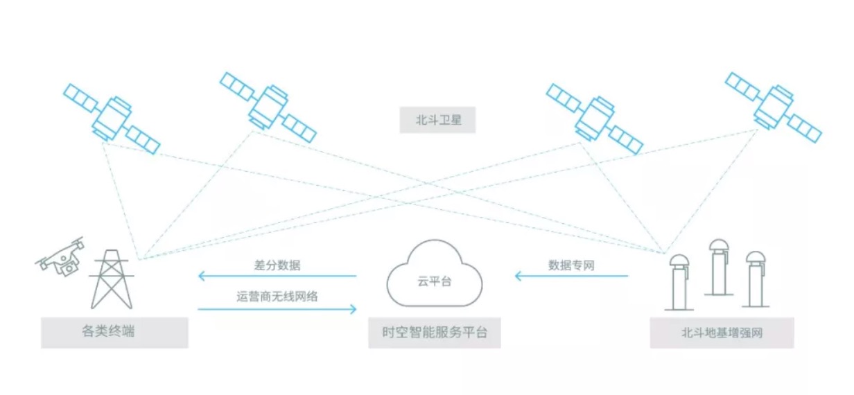
Qianxun SI announced that the National Beidou Ground-based Enhancement System was officially put into operation and started to provide real-time centimeter-level and post-processing millimeter-level high-precision positioning services to the whole society. In 6 years of stable operation, the National Beidou Ground-based Enhancement System has the following accumulation of independent innovation.